Description:
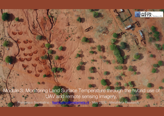
With a case study, you will learn about an experimental approach to monitor land surface temperature changes through the joint use of remote sensing and drone imagery.
Free Download
Please fill in the form below and we will directly send the document to your e-mail address.
After submitting the form we will sent a download link for the selected document directly to your mailbox.
MetaMeta uses cookies to ensure that you get the best experience on the website.